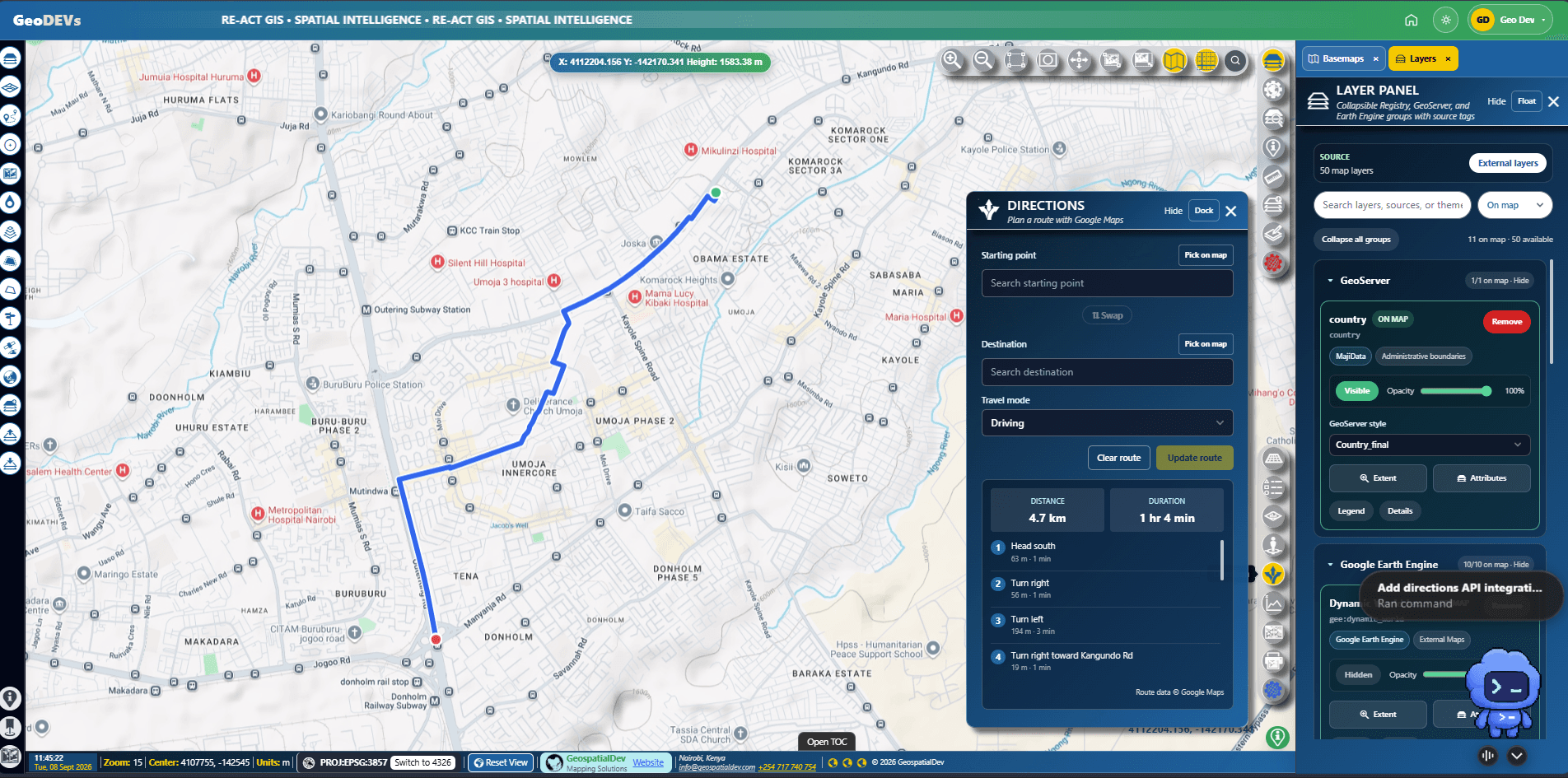
Step 01
Discover and combine data
Search a governed catalogue and bring operational, reference, and earth-observation layers into one workspace.
 GeoDEVs
Guided product tour
A visual walkthrough of the patterns behind GeoDEVs mapping products. Exact modules are shaped around each organization.
Request a live demoStep 01
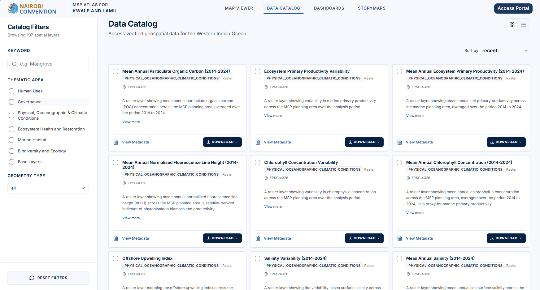
Search a governed catalogue and bring operational, reference, and earth-observation layers into one workspace.
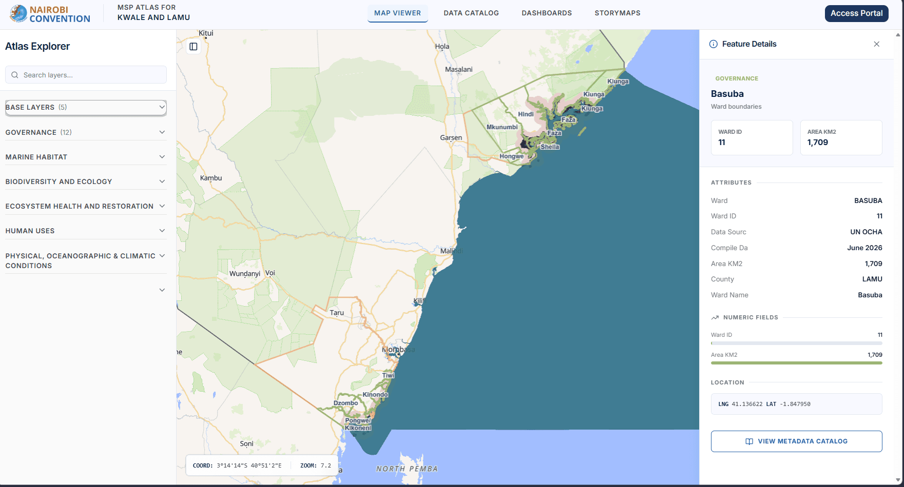
Step 02
Move between map features, attributes, metadata, and related context without leaving the working view.
Step 03
Turn complex processing into guided steps and map-ready outputs that people can interpret.
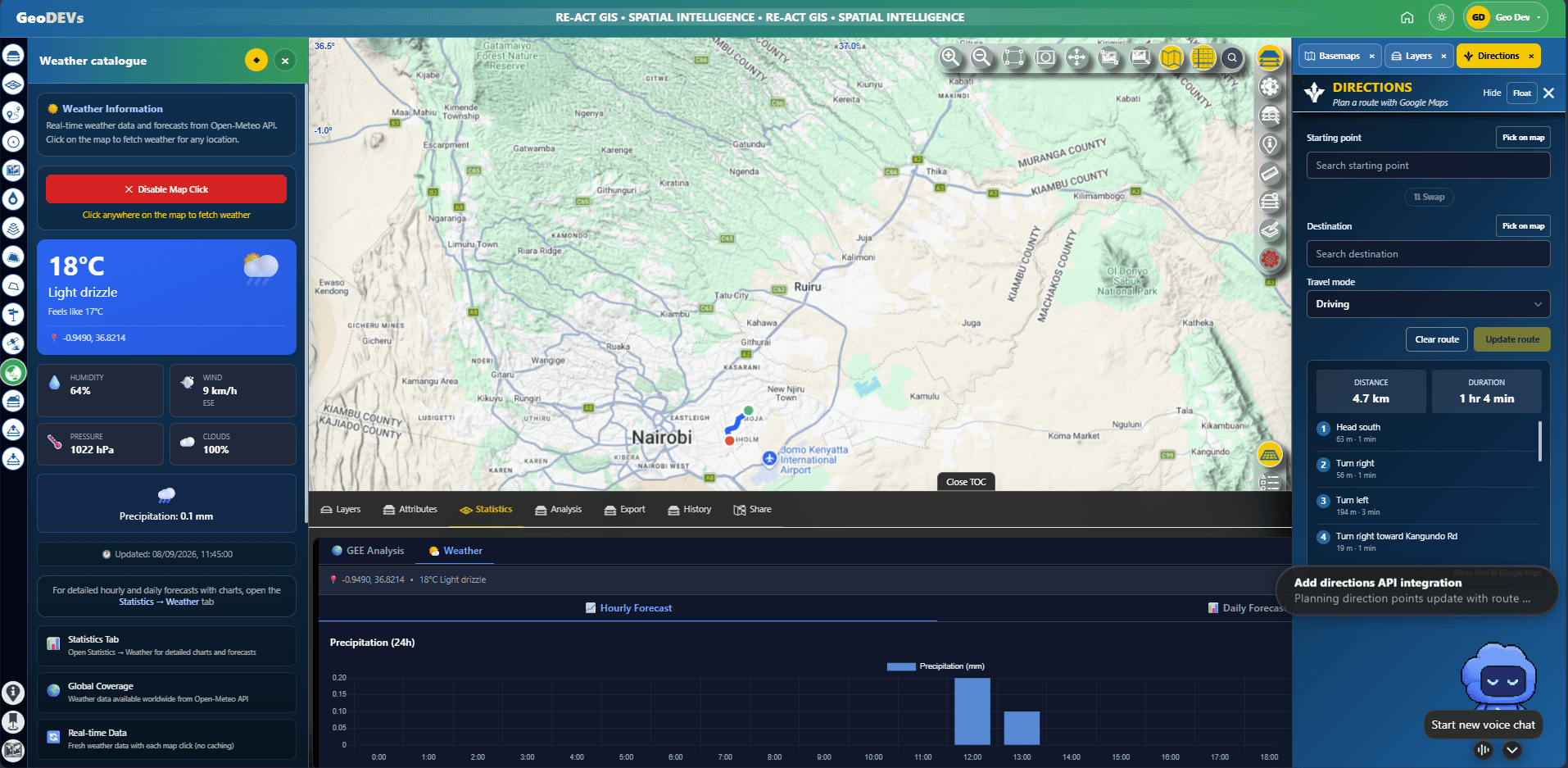
Step 04
Combine routing, export, dashboards, and presentation-ready views to support the next decision.