
Remote sensing
Earth Observation Monitoring
Satellite-derived vegetation and land-change insights prepared for faster interpretation.
The work
From spatial complexity to a focused tool.
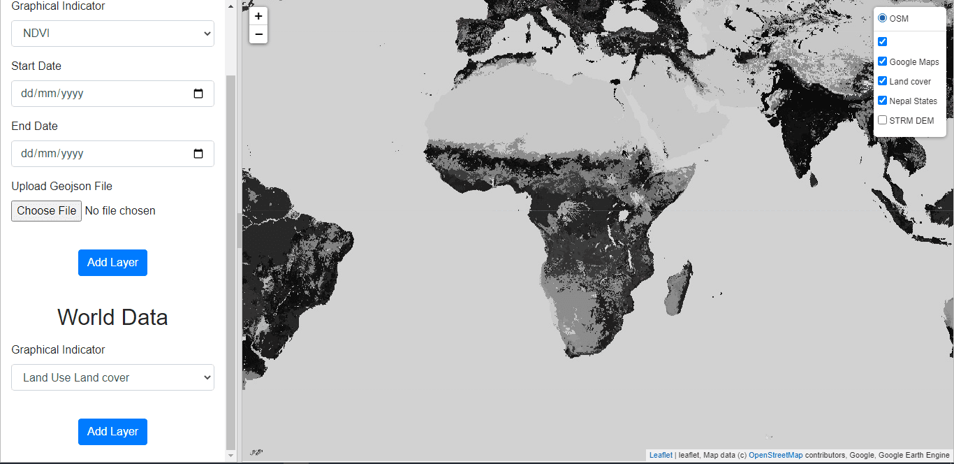
This workflow transforms raw earth-observation imagery into consistent indices and map-ready outputs. Automated processing reduces repetitive desktop work and makes results easier to review, compare, and communicate.