
Decision support
Geospatial Analysis Suite
Secure, role-aware spatial analysis workflows made accessible through the web.
Case study
From spatial complexity to a focused tool.
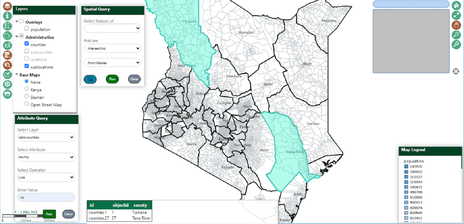
A structured geospatial workspace that gives different users the tools and datasets relevant to their responsibilities. The interface turns complex processing into understandable steps while keeping access and operations controlled.
The need
Make complex spatial information usable.
The project called for a clear path from distributed data and technical services to information people could inspect and act on.
Our role
Engineer the working system.
GeoDEVs contributed across spatial analysis, workflow automation, application engineering with an emphasis on maintainable delivery.
Delivered value
A platform shaped around decisions.
The resulting capability supports secure, role-aware spatial analysis workflows made accessible through the web.