Water-sector intelligence · Kenya
DeliveredMaji Data Platform
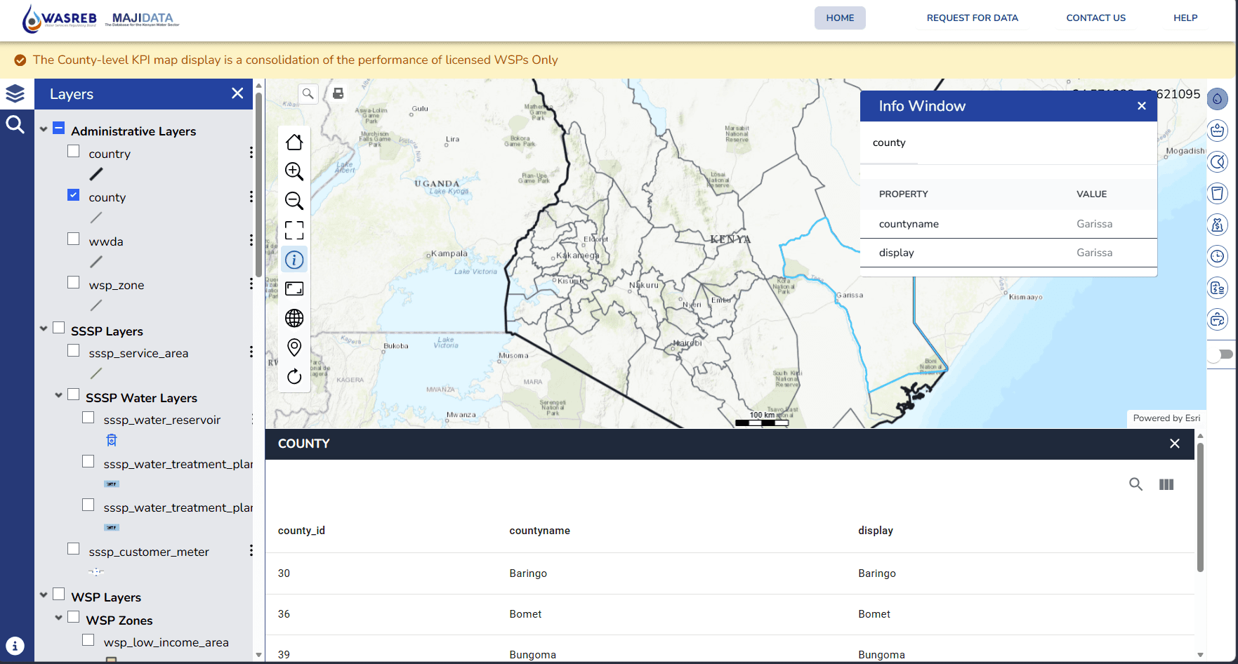
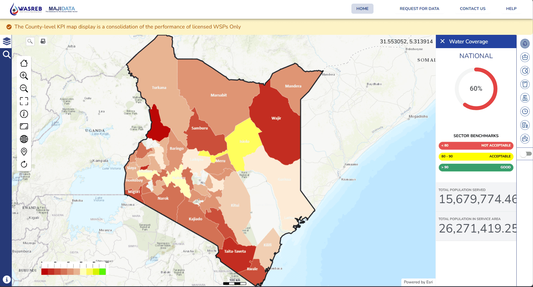
A national platform for mapping water providers, indicators, infrastructure, and service coverage.
Project collaboration: Geospatial Research International / WASREB
The work
From spatial complexity to a focused tool.
Interactive mapping and performance information for Kenya's water sector, including spatial publishing, cartography, and county-level views.
Inside the platform