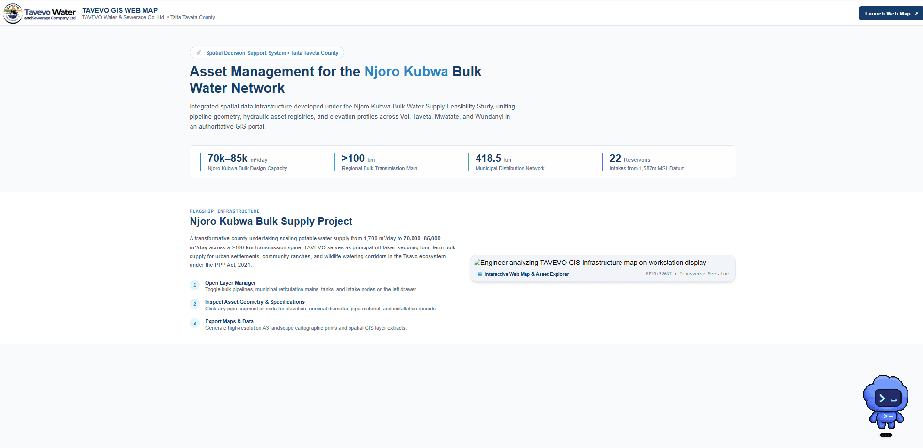
Utility asset management · Taita Taveta
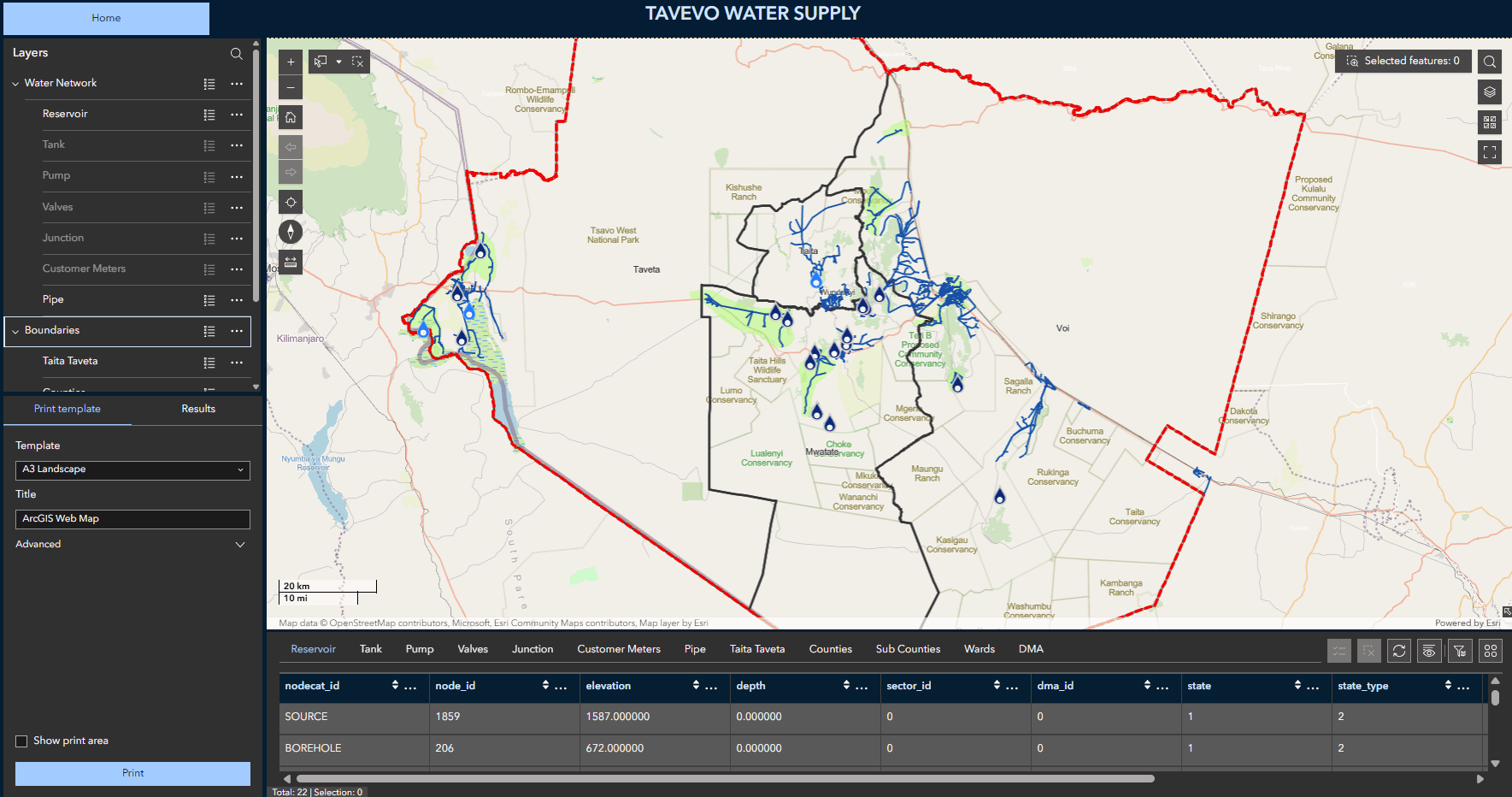
In developmentTAVEVO Water Supply WebGIS
An Esri-based platform for water-network assets, service infrastructure, and operational dashboards.
Project collaboration: TAVEVO Water and Sewerage Company
The work
From spatial complexity to a focused tool.
An integrated WebGIS using ArcGIS Dashboards and Experience Builder for asset exploration, monitoring, reporting, and communication.
Inside the platform